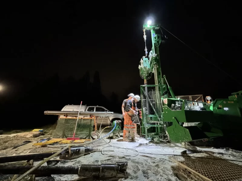
Innovative Solutions for Complex Geoscience Challenges
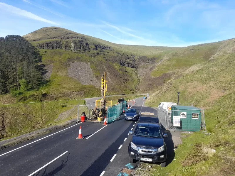
Equipped with the latest industry-standard equipment and expertise, we are now offering innovative solutions for complex geoscience challenges.
Our Service Offerings:
Subsurface Hazard Mapping: Locating buried objects, identifying voids, and mapping utilities.
Ground Characterisation: Assessing soil properties and subsurface conditions.
Topographic Surveying: Creating a 2D or 3D image of the current landscape
Our Geophysics Methods:
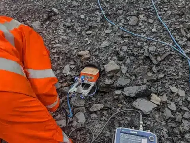
GPR: Ground Penetrating Radar for high-resolution imaging.
EM & Magnetometer: Detecting anomalies using electromagnetic and magnetic fields.
Resistivity Surveys: Measuring electrical conductivity for subsurface structure.
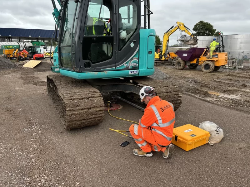
Seismic Surveys: Analysing seismic waves to determine subsurface properties.
We can utilise these techniques to undertake surveys both at surface and within the ground including within boreholes and confined spaces.
Geophysic in Tunnel Environments
Geophysical methods are increasingly valuable tools for assessing tunnel conditions. They offer a non-intrusive and efficient means of:
- Identifying the root causes of water ingress, fracturing and subsidence
- Characterizing tunnel structures, especially older brick tunnels
- Correlating data from a wider area to gain a comprehensive understanding
- Compared to traditional intrusive investigations, geophysics provides a faster and less disruptive approach to tunnel assessment.
Our team possesses the expertise and equipment necessary to overcome obstacles such as limited space and complex geometries, ensuring comprehensive data collection. Our proprietary software, developed from academic research and supported businesses, enables us to process and visualize data with greater fidelity, ensuring clear identification of tunnel lining issues.
Get Accurate, Reliable Results
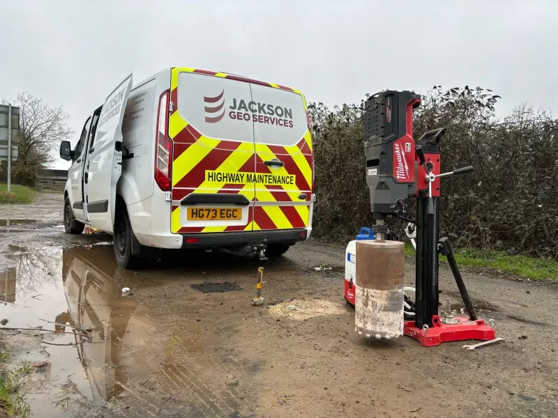
Partner with Jackson Geo Services for accurate, reliable results.
